A Geologist specializing in groundwater detection plays a crucial role in identifying, evaluating, and managing underground water resources. Their expertise combines geology, hydrology, and modern technology to ensure sustainable groundwater use and address challenges like water scarcity, contamination, or over-extraction.
Roles and Responsibilities of a Geologist in Groundwater Detection:
- Site Investigation:
- Conduct surveys to locate potential aquifers.
- Evaluate geological formations to identify areas with high groundwater potential.
- Hydrogeological Studies:
- Analyze subsurface geology to determine the permeability and porosity of rocks.
- Map aquifers and assess their recharge and discharge patterns.
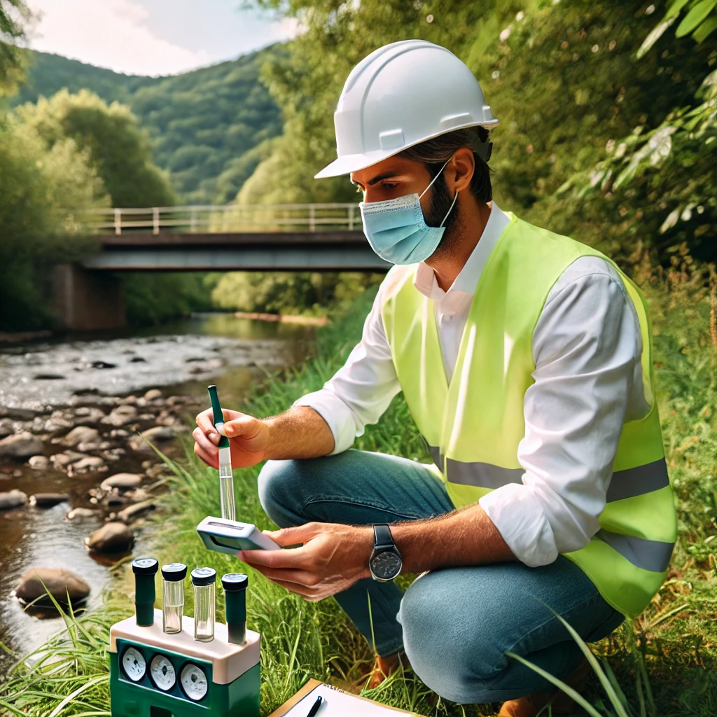
- Groundwater Quality Assessment:
- Test water samples for contaminants (e.g., nitrates, heavy metals).
- Ensure water meets standards for drinking, irrigation, or industrial use.
- Data Collection and Interpretation:
- Use boreholes, wells, or pits to collect data on water table levels.
- Interpret data to create groundwater flow models.
- Use of Advanced Tools:
- Geophysical Methods: Employ Ground Penetrating Radar (GPR), resistivity imaging, or seismic surveys to detect aquifers.
- GIS and Remote Sensing: Analyze satellite imagery and map groundwater potential zones.
- Water Management Planning:
- Recommend strategies for sustainable groundwater use.
- Propose recharge methods like rainwater harvesting or artificial recharge systems.
Techniques Used by Geologists for Groundwater Detection:
- Geophysical Surveys:
- Electrical Resistivity: Identifies water-bearing zones by measuring electrical resistance in the ground.
- Magnetics and Gravity: Helps locate aquifers in deeper geological formations.
- Seismic Refraction: Maps subsurface structures and aquifers.
- Hydrological Data Collection:
- Uses piezometers and monitoring wells to measure water levels and pressure.
- Analyzes precipitation and runoff patterns.
- Aquifer Testing:
- Conducts pump tests to measure aquifer capacity and hydraulic conductivity.
- Remote Sensing:
- Tracks land cover, soil moisture, and rainfall distribution.
- Identifies areas with high recharge potential.
- Isotope Analysis:
- Determines the age and origin of groundwater to understand recharge rates.
Key Skills of a Groundwater Geologist:
- Strong knowledge of geology, hydrology, and environmental science.
- Proficiency in geophysical instruments and software like MODFLOW, ArcGIS, or QGIS.
- Analytical and problem-solving skills to address water management challenges.
Applications of Groundwater Detection by Geologists:
- Water Supply Development:
- Identifying locations for new wells or boreholes.
- Ensuring sustainable water extraction for communities and industries.
- Agriculture:
- Assessing groundwater availability for irrigation.
- Advising on water-efficient farming practices.
- Environmental Protection:
- Monitoring groundwater quality to prevent contamination.
- Managing aquifers in drought-prone regions.
- Urban Planning:
- Ensuring reliable groundwater sources for urban expansion.
- Mitigating risks like over-extraction and land subsidence.
- Disaster Mitigation:
- Addressing issues like groundwater flooding or depletion.
