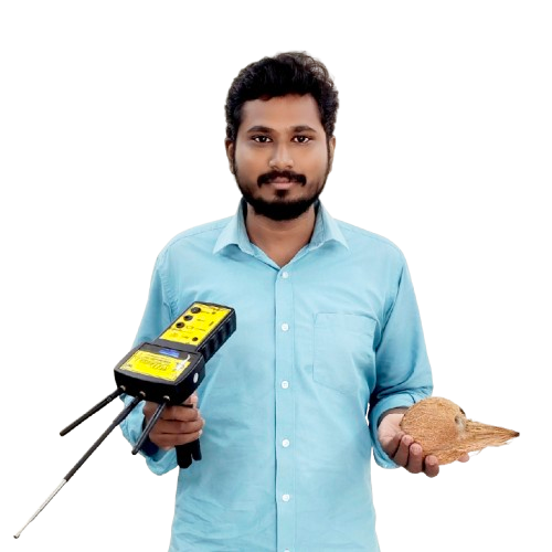
We, A Geologist specializing in groundwater detection plays a crucial role in identifying, evaluating, and managing underground water resources. Their expertise combines geology, hydrology, and modern technology to ensure sustainable groundwater use and address challenges like water scarcity, contamination, or over-extraction.
How it works
Responsibilities of a Geologist in Groundwater Detection
- Strong knowledge of geology, hydrology, and environmental science.
- Proficiency in geophysical instruments and software like MODFLOW, ArcGIS, or QGIS.
- Analytical and problem-solving skills to address water management challenges.
Site Investigation
Conduct surveys to locate potential aquifers. Evaluate geological formations to identify areas with high groundwater potential.
Use of Advanced Tools
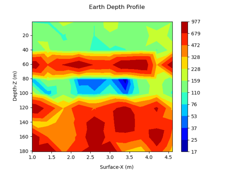
Geophysical Methods: Employ Ground Penetrating Radar (GPR), resistivity imaging, or seismic surveys to detect aquifers. GIS and Remote Sensing: Analyze satellite imagery and map groundwater potential zones.
FAQ
Frequently Asked Questions
They analyze geological maps, conduct field surveys, and use geophysical methods like resistivity surveys and seismic imaging to detect aquifers.
The detection depth depends on the technology used. For example, resistivity surveys can penetrate hundreds of meters, while GPR is more effective at shallow depths.
- Geophysical Methods: Electrical resistivity, seismic surveys, and Ground Penetrating Radar.
- Field Techniques: Soil sampling and test drilling.
- Mapping and Analysis: GIS tools and groundwater flow models. These methods provide accurate insights into the location, depth, and quality of groundwater.
Blog